


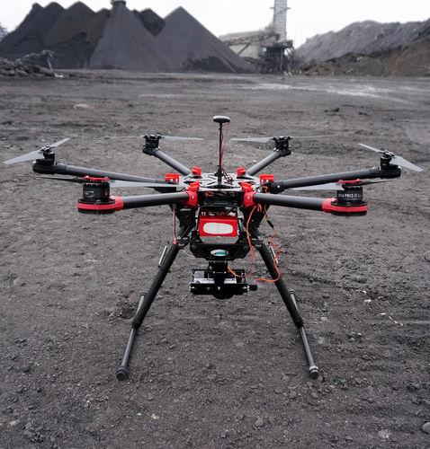
 rotary airfoil UAV / hexarotor / aerial photography / monitoring
AV-900 MMK
INO Group
Request for quotation
Products relative
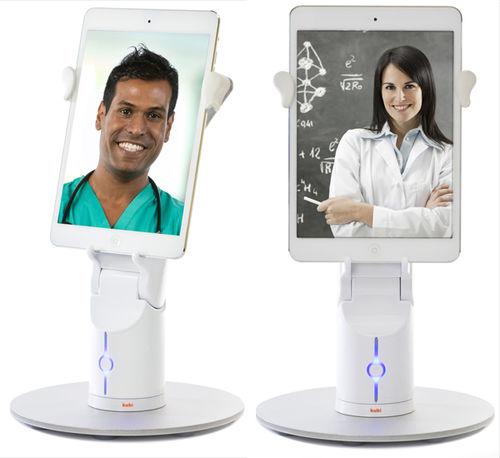
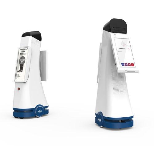
Telepresence robots


Public relations robots
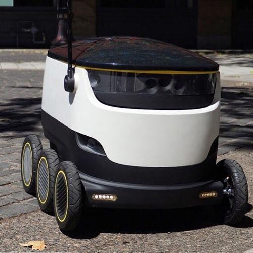


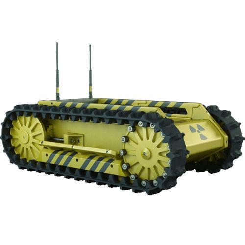
Security robots